Precise Navigation of Vessels with Iran-Made Marine Positioning System
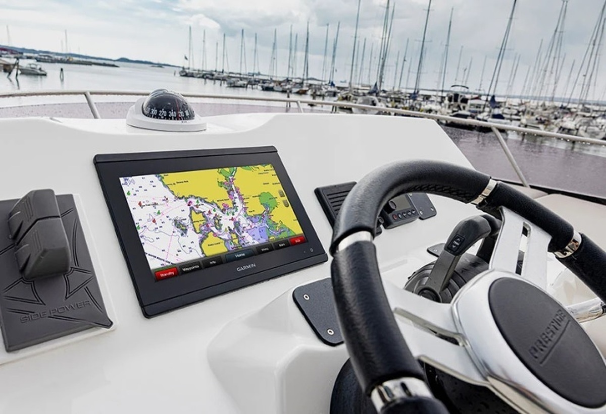
“GPS map, or position finder, is a system based on software and hardware that is used in commercial, fishing and military ships. It works in a way that a hardware along with software is installed on the ship which is similar to a 10-inch monitor and a set of tools for working with the map,” said Gholamreza Najafpour, the managing director of the knowledge-based company which designs and manufactures industrial radars.
He added that the system is able to load marine and satellite maps and connect to radar and AIS, saying, “The user of this system can find his/her position based on the information he/she receives from systems like AIS, radar and GPS and observe the sea at any moment.”
“It can also report the topology of the sea, including the depth at any moment, and detect other ships and boats that are using this system and similar systems on the map at any moment. Finally, with this information, it can navigate and guide the vessel and control the path so that no collapse happens in the sea,” Najafpour said.
In a relevant development in February, a technological company stationed at Sharif University of Technology had also developed an integrated system of online monitoring and analysis of vessels’ necessary information whose application reduces fuel consumption.
Mehdi Khorassanchi, one of the researchers of the project, said that the system is named ‘Ship Insight’, adding, “All detailed information of the ship, from the wheel room to the bilge, can be viewed online at any moment by using this system and it provides information related to navigation and weather conditions, the amount of floating fuel, the data of the main engine, generators, pumps and machinery, the amount of cargo and the operating hours of the ship.”
He added that the system has been mounted and tested on the Iranian ships for 10 months, noting that the shipping technical experts have voiced pleasure with the performance of this product.
Khorassanchi named ‘online monitoring of ship performance’, ‘ship performance status analysis by using artificial intelligence’, ‘preparation of daily digital reports from ship data’ and ‘journey optimization’ among the capabilities of this system, and noted, “By this system, you can choose the shortest route or the least amount of fuel consumption.”
4155/v