Iranian Maps Replace Foreign Nautical Charts
“Every year, one hundred thousand copies of Iran's sea charts are sold to the domestic and foreign customers which brings over half a million dollar to the country annually,” said Ali Soltanpour.
He added that almost 4 million dollars in foreign exchange income has been obtained for the country by selling nautical charts since 8 years ago.
“When the Iranian nautical charts were released in the Persian Gulf and the Sea of Oman, the English maps had been removed from the databases of international organizations,” Soltanpour said, adding that the same thing happened with Russian maps in the Caspian Sea.
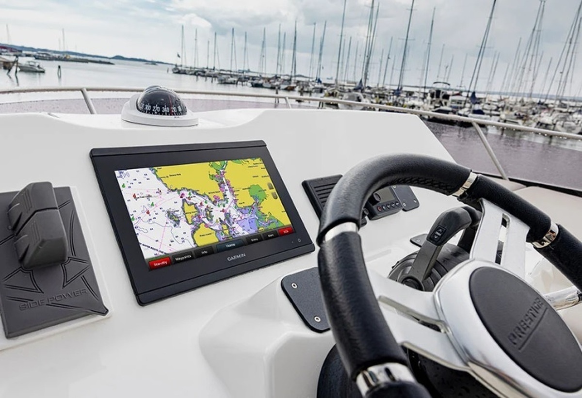
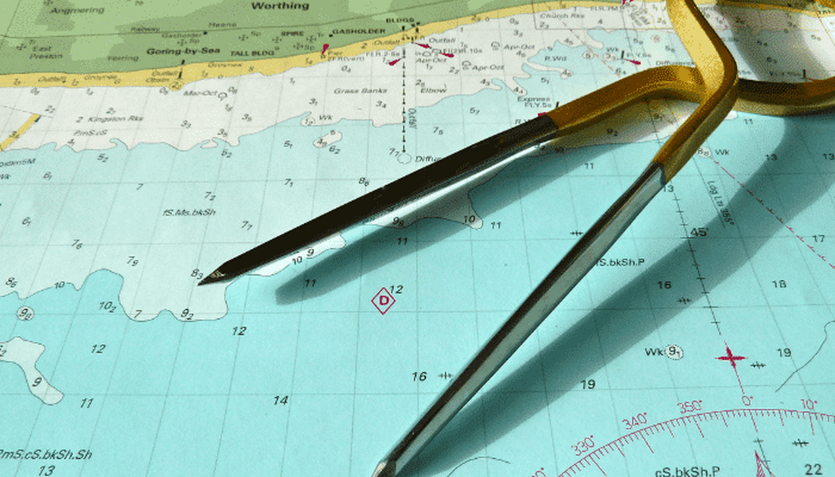
A nautical chart is one of the most fundamental tools available to the mariner. It is a map that depicts the configuration of the shoreline and seafloor.
It provides water depths, locations of dangers to navigation, locations and characteristics of aids to navigation, anchorages, and other features.
The nautical chart is essential for safe navigation. Mariners use charts to plan voyages and navigate ships safely and economically.
4155/v